
Managing complex urban infrastructure and expansive highway networks has traditionally been a slow, disruptive, and often hazardous process. Today, the integration of 3D Mobile Mapping and Digital Twins is completely transforming how we capture, visualize, and maintain our built environment, offering unprecedented precision and safety.
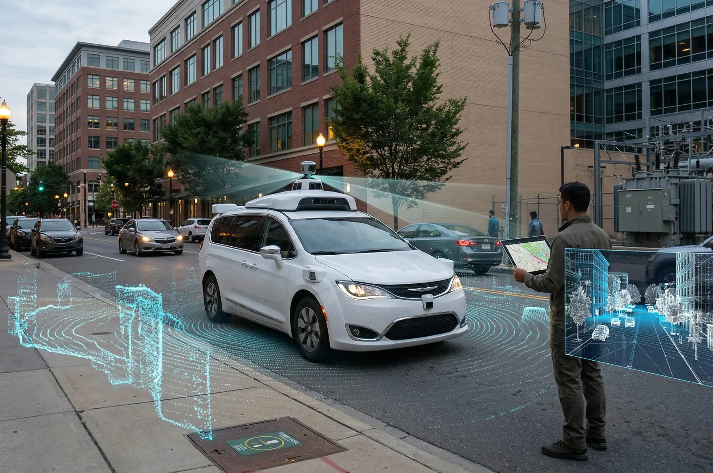
1. Centimeter-level precision at highway speeds
The foundation of proactive asset management is reliable spatial data. By deploying vehicle-mounted Mobile Mapping systems, engineers can combine high-density LiDAR scanners with immersive 360-degree cameras. This setup allows for continuous data collection with absolute centimeter-level accuracy.
The major benefit of this technology is the ability to map extensive environments without altering the natural flow of a city. The advantages of mobile data collection are unparalleled:
- Zero traffic disruption: The ability to scan complex urban networks and highways at normal traffic speeds eliminates the need for expensive and frustrating lane closures.
- Enhanced personnel safety: Surveying teams are kept safely inside vehicles, away from hazardous high-speed roads and busy intersections.
- Comprehensive data acquisition: Simultaneously capture road surface conditions, bridge clearances, and roadside assets in a single pass.
2. Translating reality into highly accurate Digital Twins
Capturing millions of spatial coordinates is only the beginning. These dense point clouds and high-resolution images are processed to create comprehensive Digital Twins. By utilizing advanced 3D modeling, we create a virtual replica of the physical world that engineers can analyze from anywhere.
Key Insight
A modern Mobile Mapping system can capture millions of data points per second while traveling at 80 km/h, providing a completely safe, hyper-accurate foundation for infrastructure maintenance and urban planning.
Sub-section: Managing complex urban networks
Dense urban environments are notorious for rapid changes and complicated layouts. Mobile mapping provides the agility needed to frequently update the digital environment. This ensures that GIS databases remain current, allowing city planners and contractors to make informed decisions based on reality, not outdated blueprints.
Conclusion
The shift towards 3D Mobile Mapping and Digital Twins is not just a technological upgrade; it is a critical evolution in spatial data management. By eliminating traffic disruption, maximizing personnel safety, and delivering centimeter-level precision, this approach ensures that modern infrastructure is built and maintained efficiently. Stop relying on slow, hazardous surveying methods.