
Our Portofolio of Services

Our solutions will effortlessly take your project to the finish line by integrating the best technologies on the market and maximum delivery efficiency without compromising on quality
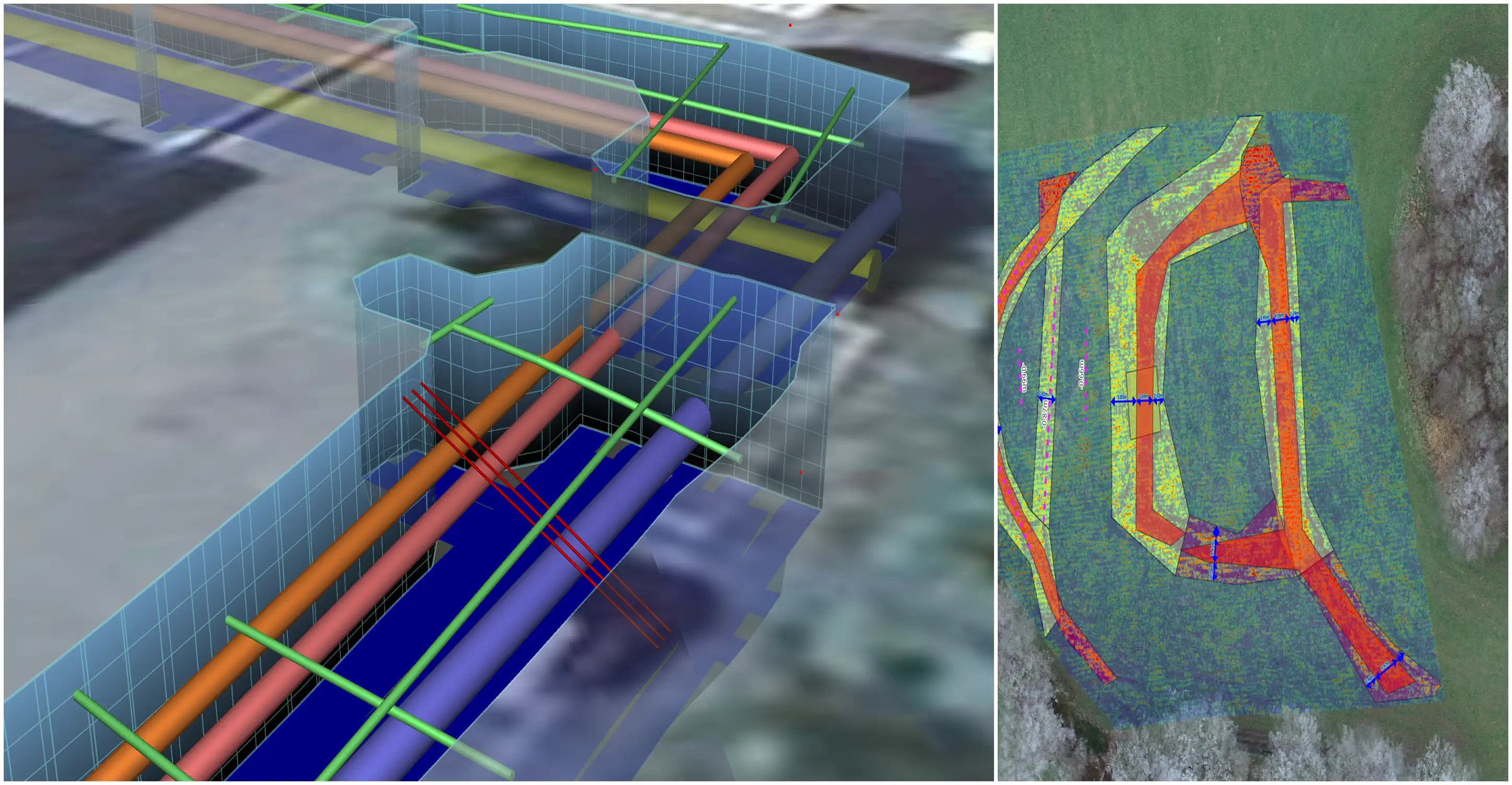
Results of detection of underground elements such as utilities using GPR

Utilities & Underground Features Detection

We collect GPR data on both small and large areas in order to analyze buried underground elements such as utilities mainly but also others (archaeological structures, land changes etc...). All analysis results are delivered in different flexible formats for any client and in a ready-to-use state either in the field or in the office.

Interested in Utilities Detection & More
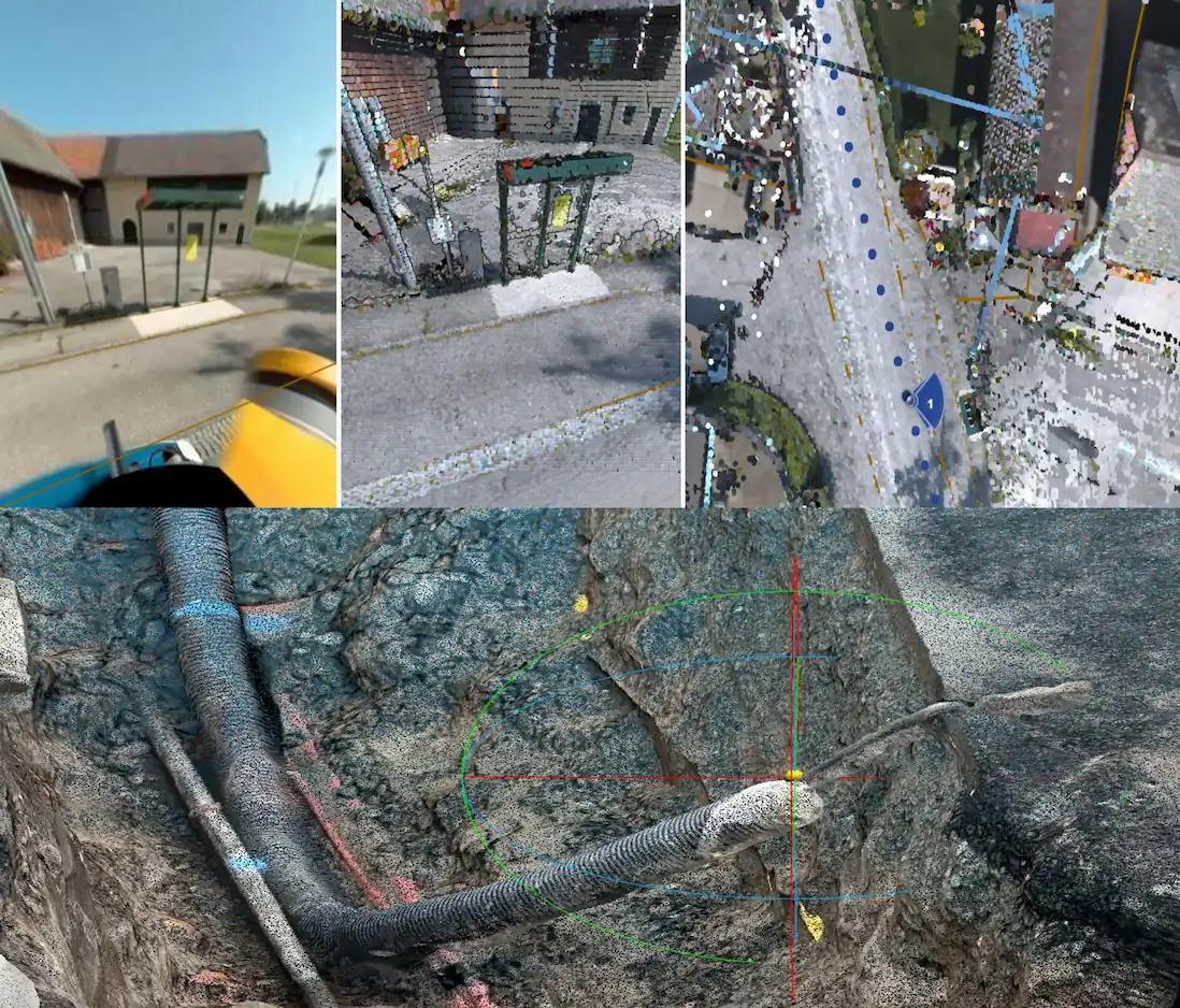
A compilation of images with representative results for 3D digital models and digital twins in an urban environment

Digital Twin

We create high-fidelity digital scenes on demand for any area, regardless of its size.
  • Mobile Mapping: Through our automotive mobile platform we collect data at unprecedented speeds and quality. We use state-of-the-art LiDAR and 360 panorama technology to generate Digital Twin models
  • Site Mapper: We can collect and generate 3D models of centimeter-level quality and precision with the help of our integrated technologies on your phone.
  • Multi-platform: The transition of the natural environment into a digital one has no limits when it comes to our technical capabilities, managing to successfully integrate multiple platforms such as drones (aerial), automotive (360-degree high-speed terrestrial) and mobile (phones that capture centimeter-level details)

Interested in Digital Twin
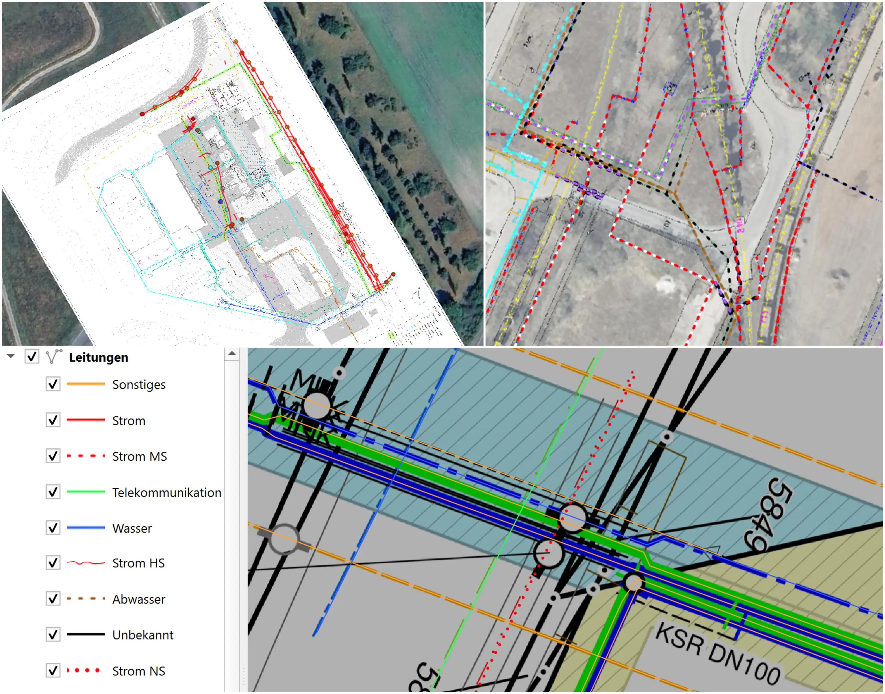
A collage of images with different results of digitization, georeferencing and GIS services such as digital maps

GIS & Digitization

We deal with both the management of geospatial digital resources and the digitization and georeferencing of offline materials or materials lacking spatial attributes.
  • GIS: We use Geographic Information Systems (GIS) to manage and process geographic data to generate high-fidelity spatial products.
  • Digitization: We transfer raw data to the spatial world by digitizing it, whether it's plans, sketches or any document that needs to be brought into a geospatial environment, we take care of it.

Interested in GIS & Digitization
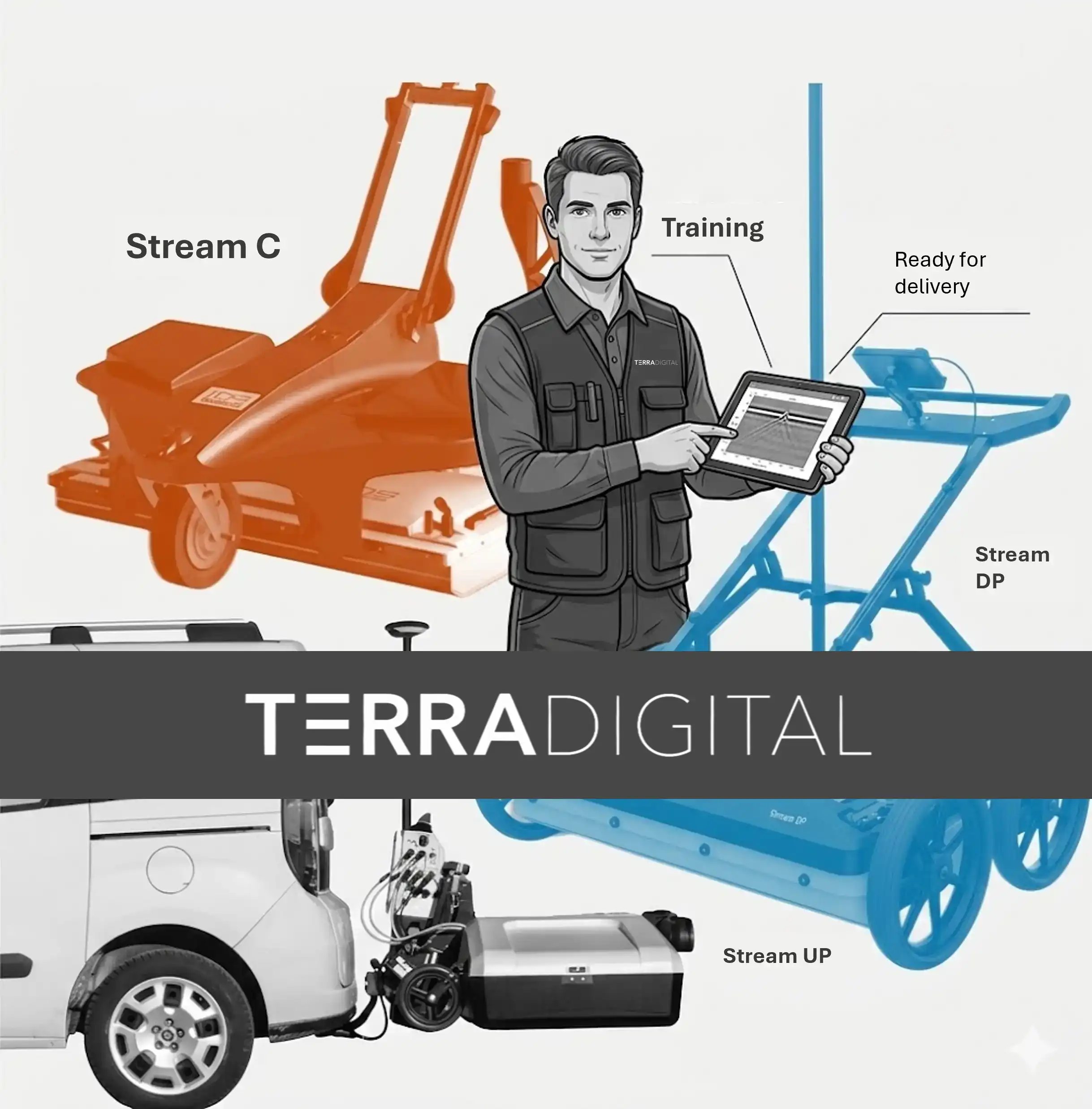
Assembly presentation of some IDS gpr data collection equipment viewed as a compilation

Training

Regardless of whether your team lacks professional experience in the field of work, or already has some skills and wants to expand their knowledge, we offer training for both the hardware side (device installation and configuration, operational planning, etc.) and the software side (work environment configuration, workflow for maximizing efficiency, analysis with a focus on quality, etc.).


Interested Training