Underground Utilities Detection
We use GPR technologies to generate precise maps of underground utilities and other features.
You can find GIS & Digitization services in our portfolio as well.

From locating underground utility lines using Ground Penetrating Radar (GPR) to digital twins and equipment, here you will find uncompromising solutions.
We use GPR technologies to generate precise maps of underground utilities and other features.
You can find GIS & Digitization services in our portfolio as well.
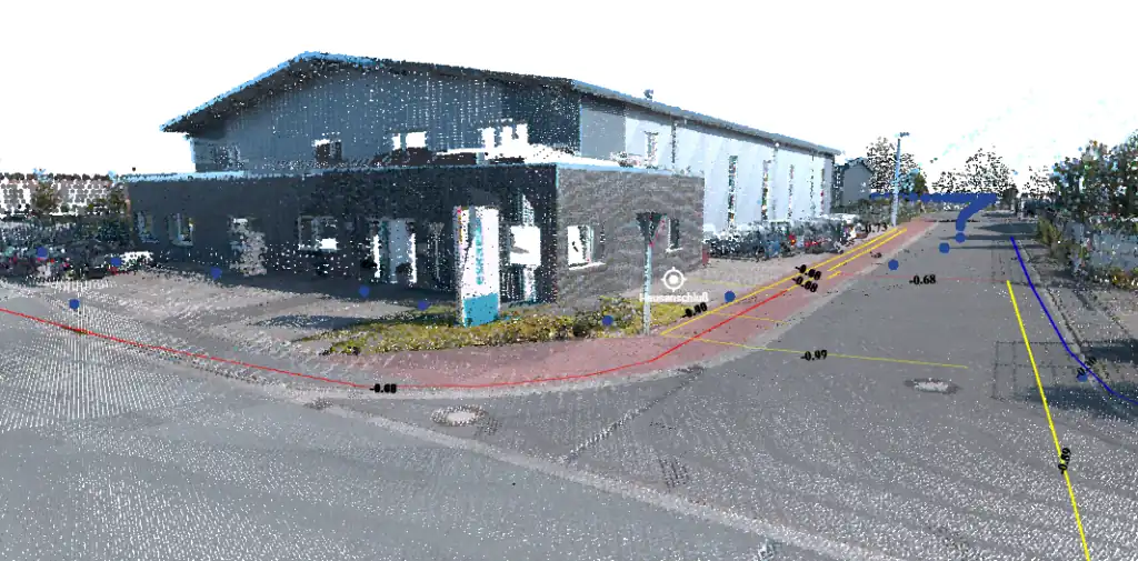
Whether it's a small area or an entire region, we bring reality into a digital environment through 3D mapping.
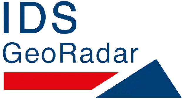
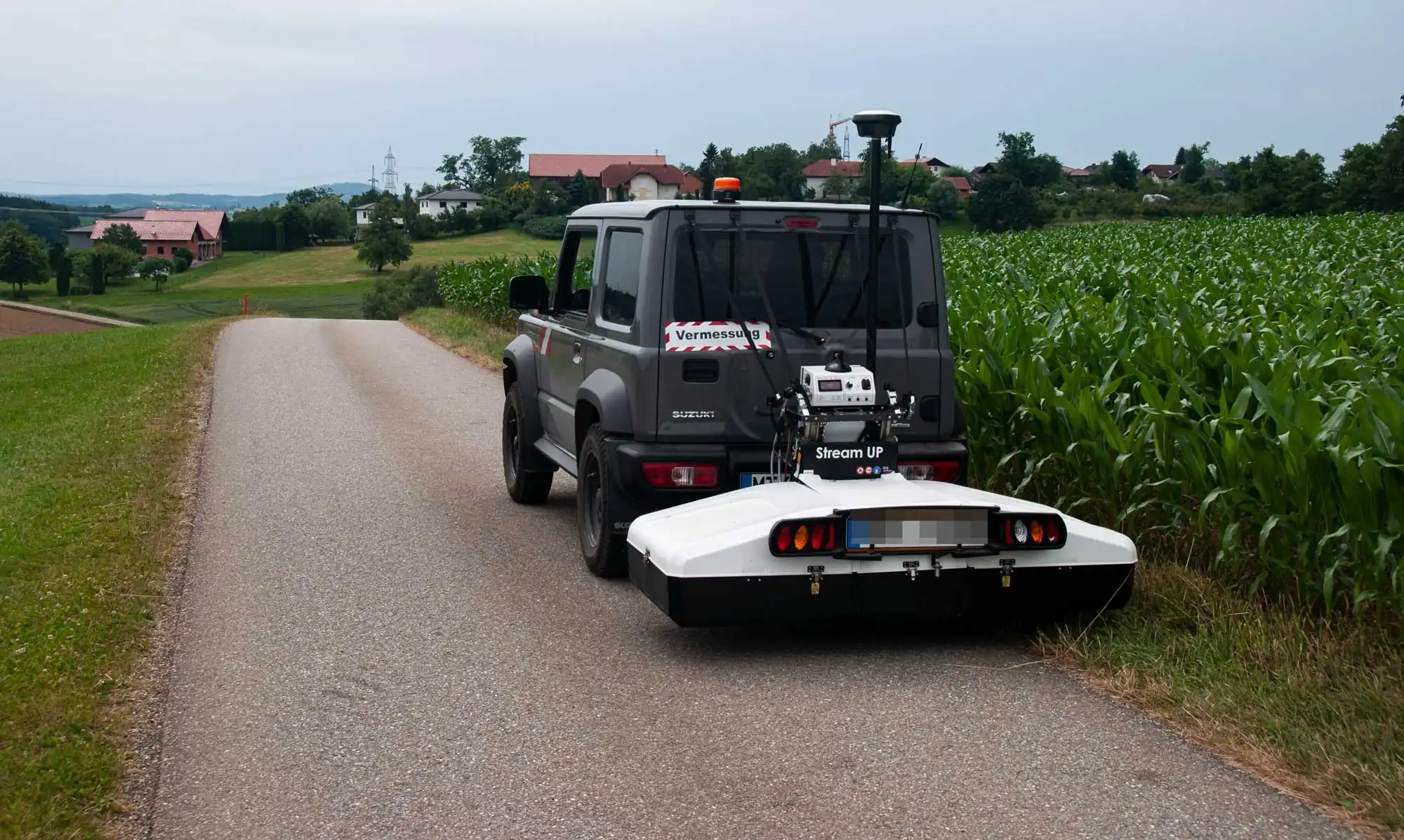
We offer multi-platform data collection from aerial (drone), auto (mobile mapping) to professional phones (site mapper)
Transform raw field data and legacy plans into intelligent GIS spatial databases. We specialize in georeferencing and utility network digitization.
Comprehensive training programs covering everything from hardware configuration and field data collection to advanced software interpretation and CAD/GIS integration.
Centralized Geospatial Portal for high-quality underground, surface spatial data & digital twin. Request datasets or monetize your own data all in one place.
From buying to renting, we have the right GPR equipment for your activity.
Our hardware is state-of-the-art and ready to use.
3D pipe locating with ground-penetrating radar | Digital twin of the construction environment | Layer thickness measurements | Pipe documentation with handheld scanners | Digitization of existing plans | Training and much more
Our responsibility is to execute your goal to the highest industry standards, relieving you of stress and with compatible results across multiple platforms. We are your one-stop shop for uncompromising quality for your project.
Trusted Partners & Integrations


Take a look at our field work, equipment, results in detecting underground utilities using GPR, digital reality modeling and much more...
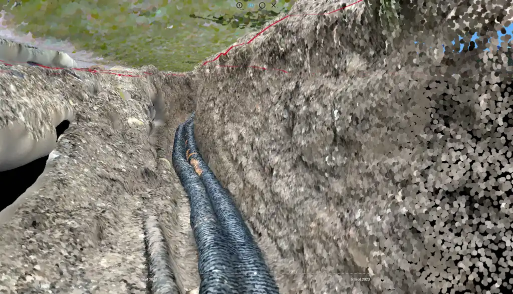
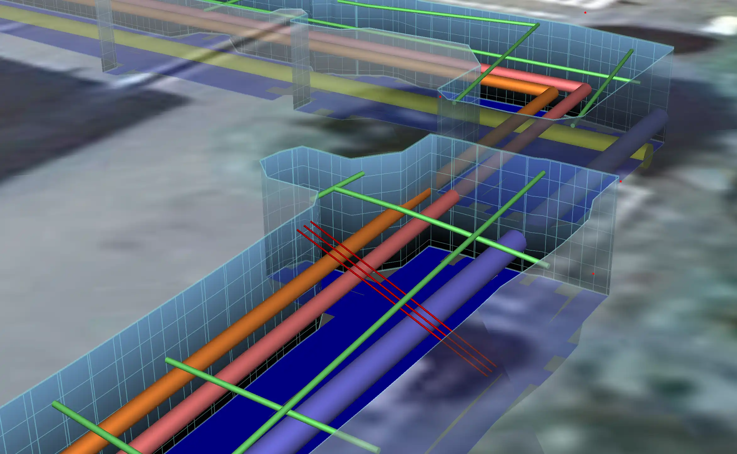
See how our activity and results have made us leaders in the industry and this is also reported by others
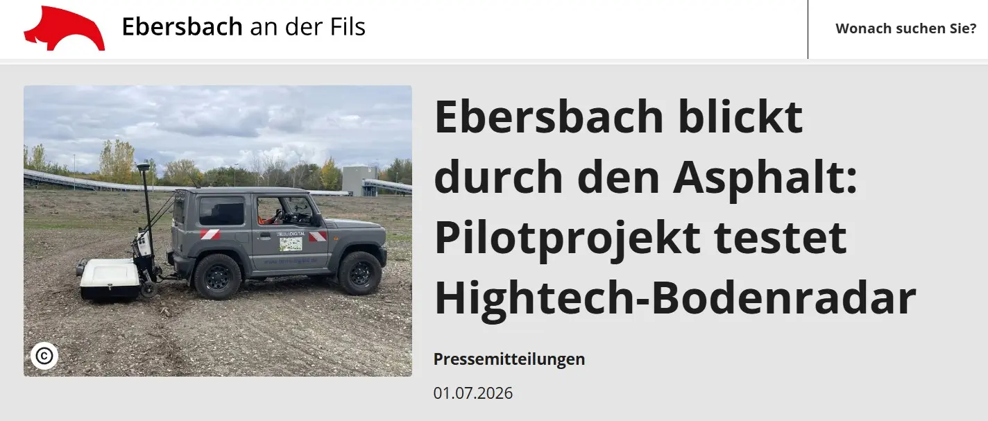
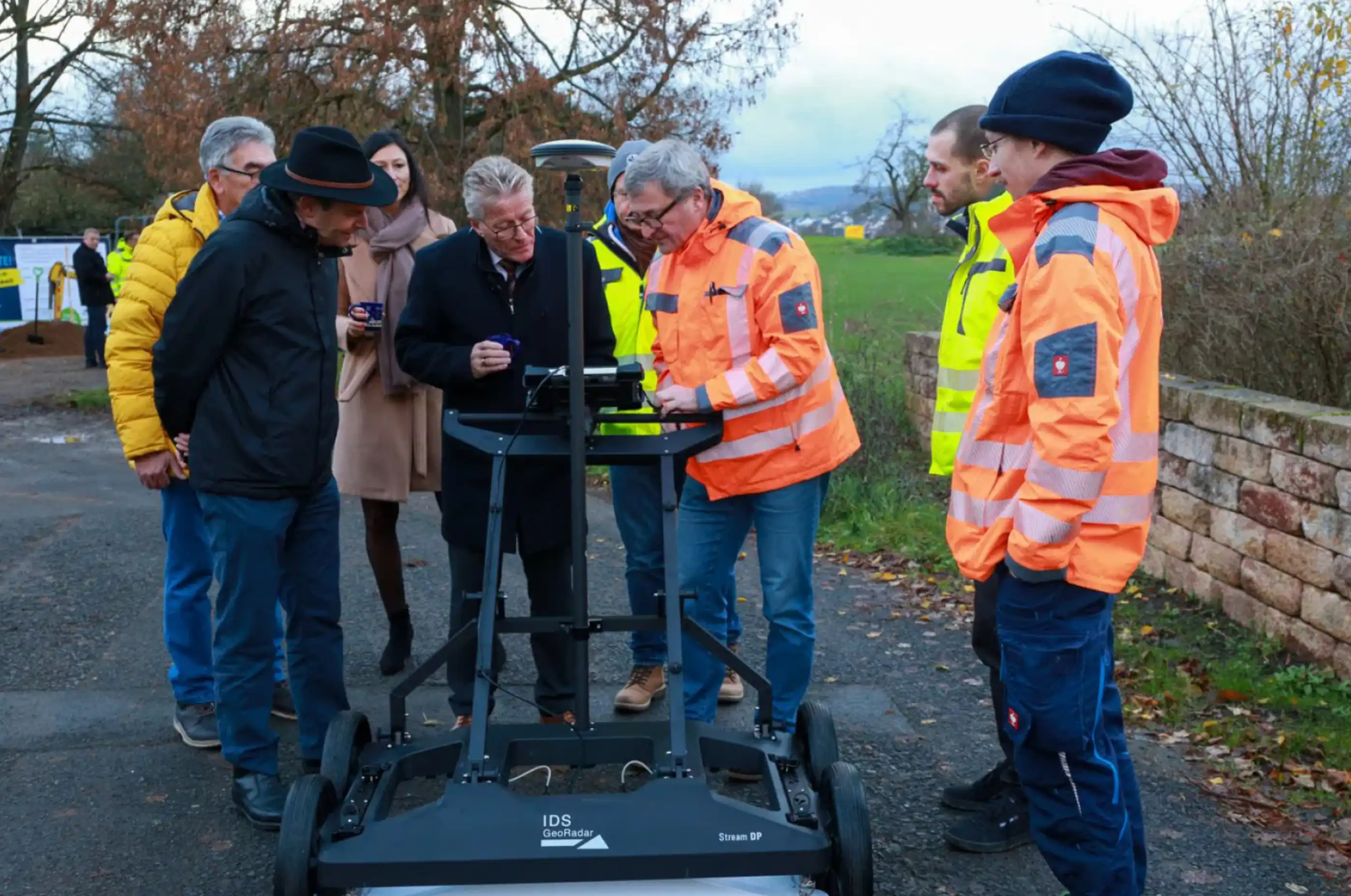
Ebersbach looks through the asphalt: A pilot project testing high-tech Ground Penetrating Radar (GPR) to safely and accurately map underground municipal infrastructure.
View Source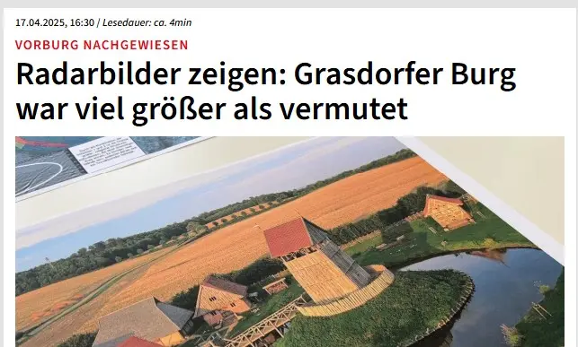
Historical discoveries: Radar imaging revealed that the Grasdorfer Castle was significantly larger than previously suspected, showcasing the immense archaeological value of GPR.
View Source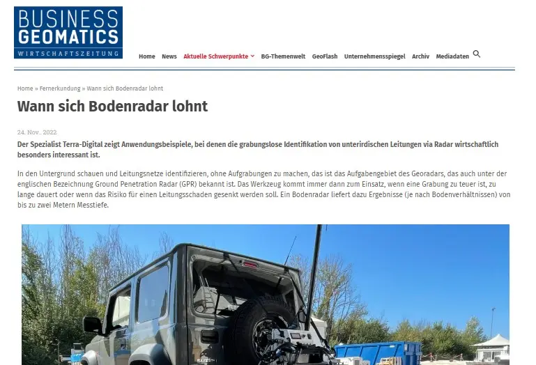
Business Geomatics Feature: An in-depth industry look at the economic benefits of utility detection and exactly when deploying ground radar technology is worthwhile for your projects.
View Source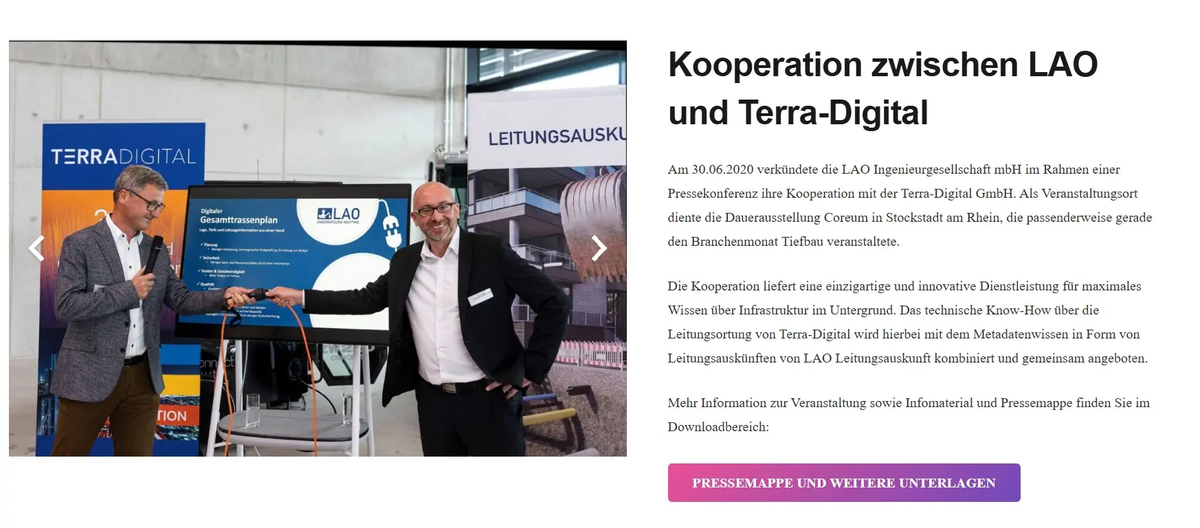
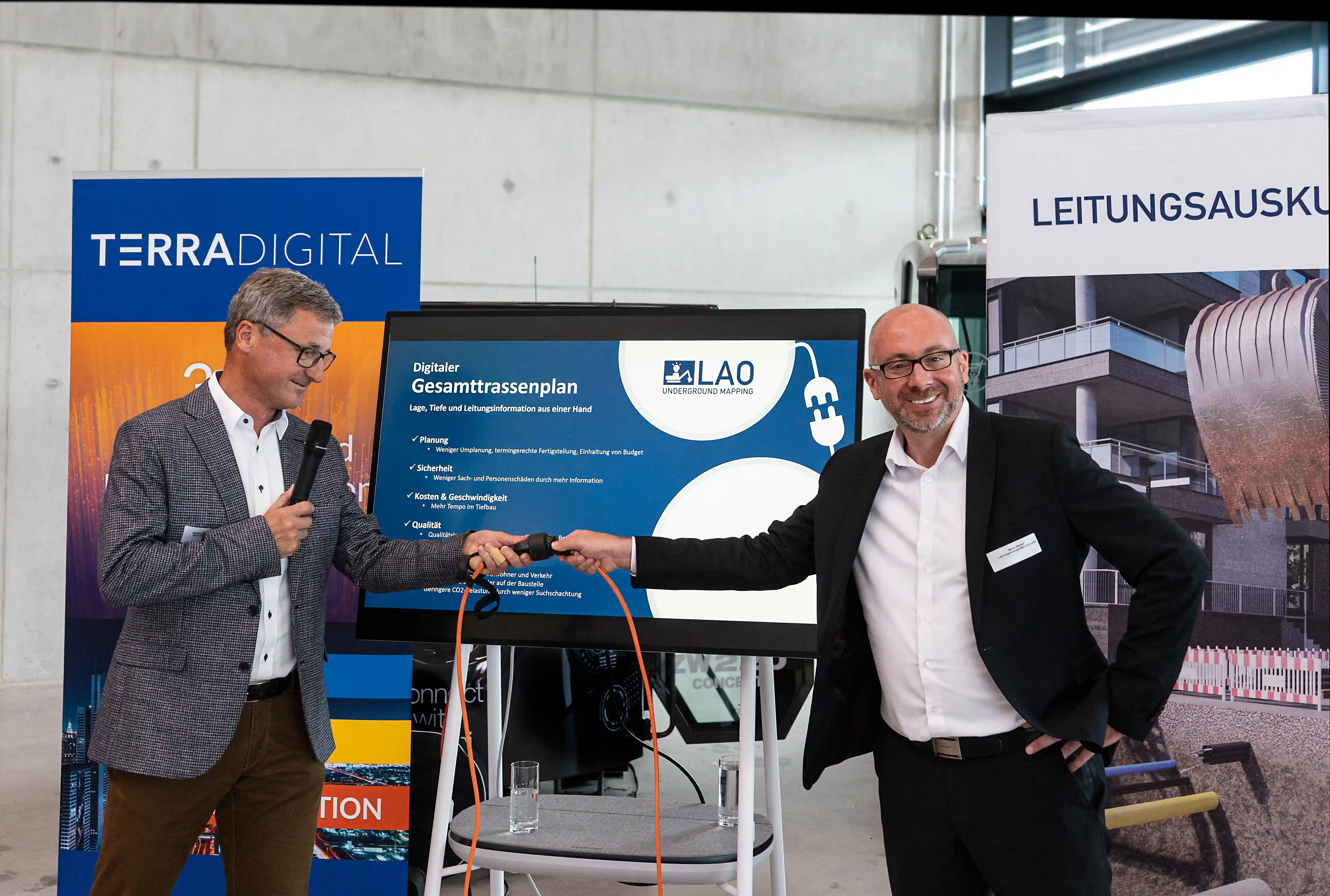
Terra Digital & LAO Cooperation: Announcement and description of cooperation between the 2 companies whose objective is to detect and map underground utilities and elements using the technical expertise of Terra-Digital GmbH and the knowledge of LAO
View Source